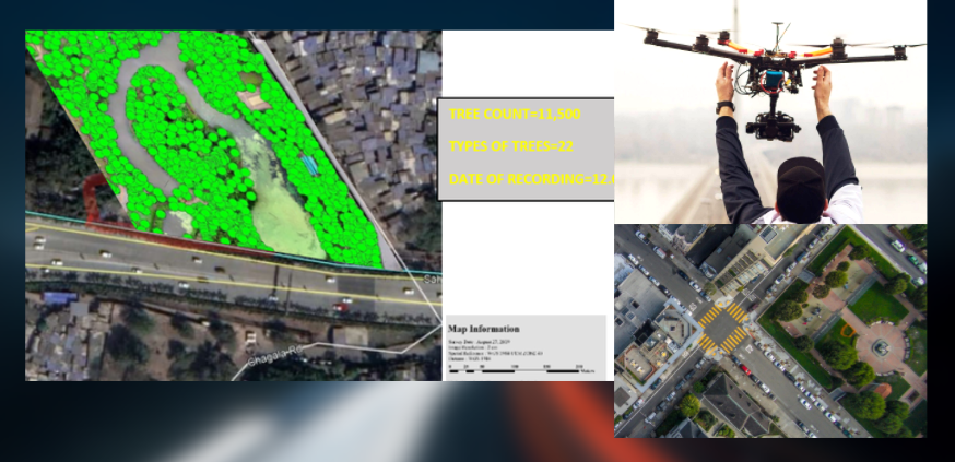
With the increasing urbanization, the need for systematic infrastructure planning ,mapping and analysis of existing assets, trees and infrastructure is a needs of the times.
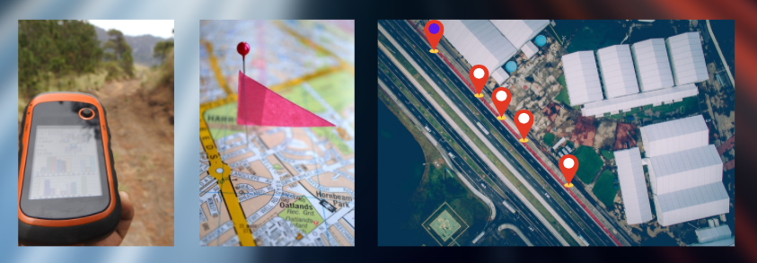
SkyTrak team of experts undertake mapping and surveys for municipal and other infrastructure assets using the latest technology. The process of identify and adding location/geo-metadata to information is undertaken by our team of technological experts. Typically geospatial meta data such as latitude and longitude coordinates, altitude, bearing, and more are one of easily available deliverables provided by us. Some of our application areas are:
TREE CENSUS
INFRASTRUCTURE MAPPING
EXISTING FEEDER PILLARS/ELECTRICAL POLES/STREET LIGHTS
MAPPING PROPERTIES
ANALYSE /MEASURE PEDESTRIAN/VEHICULAR WAYS
URBAN DESIGN ELEMENTS/ STREET FURNITURE