You Dream – We Plan And Help You Execute!!!
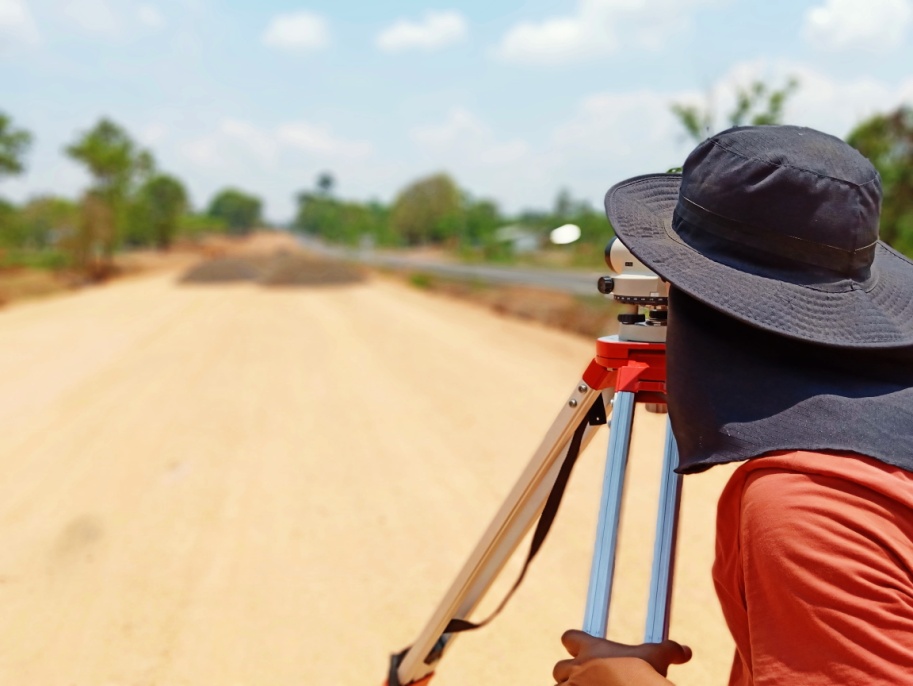
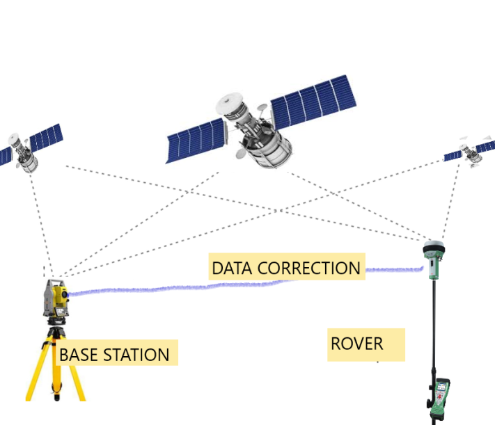
Before starting any development project, study and analysis of existing data is essential and important step. SkyTrak Solutions provides and completes this step of Surveying of Land. Be it land measurement, land demarcation, survey of existing natural or manmade features, we provide it all under one roof. We use high accuracy Total Station Machines integrated with an electronic distance measurement (EDM) to record distances, angles, slopes of land & many features such as manmade & natural elements, etc.
SkyTrak Solutions Offer Following Types of Surveys using Total Station
|
|
|
|
|
|
|
|
|